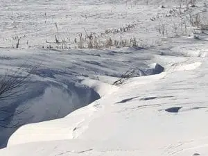
(State) A 15.9 inch measurement of snowfall in Johnson County finished the month of December with a bang.
Des Moines set a single day record for December 30th and snow was widespread throughout Iowa, according to State Climatologist Justin Glisan.
“We actually had some reports of thunder snow across Iowa. When you see thunder snow you can get sleet and freezing rain, but you can also get high intensity snowfall over a short term duration. Anywhere from a half an inch to one inch of snowfall in an hour which is a pretty good clip.”
Outside of a snowy finish, the month of December was devoid of big weather headlines. Warmer than average temperatures were experienced with the preliminary statewide average at 27 degrees or about four degrees above normal. Precipitation averaged just over one inch compared to the climatological average of 1.34″.
“Southwest Iowa reported an average temperature of 28.6 degrees which is 3.2 degrees above normal. Much of the southwest corner was slightly drier than normal; the preliminary average precipitation equaled 1.21″, which is .03″ below normal.”
Atlantic’s high temperature of 62 degrees occurred on the 9th while the coldest overnight low of -4 degrees occurred on the 31st. Atlantic received 1.04 inches of precipitation, including 10.2 inches of snow. This is four-tenths of an inch below the normal for the monthly liquid-equivalent total and three inches above average in terms of snow. The highest 24-hour snowfall of 5.9 inches was reported on December 30th for the previous 24 hour period ending at 7:00 am.


