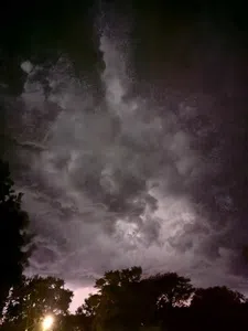
(Iowa) Iowa could see another round of wet weather as September ends and October begins.
The National Weather Service says additional rain is expected across parts of Iowa during the coming week, with the potential for several rounds of showers and thunderstorms from Tuesday through Thursday.
The current forecast calls for a relatively quiet Monday before rain chances increase Tuesday. Showers and thunderstorms are expected Tuesday, followed by additional periods of rain Wednesday and Thursday.
The National Weather Service forecast for southwestern Iowa, including the Cass County area, calls for a 90 percent chance of showers and thunderstorms Tuesday, with rainfall amounts of one-half to three-quarters of an inch possible. Showers are expected to continue Tuesday night and Wednesday, with additional rain possible Thursday.
The Weather Prediction Center also identified Iowa as an area where locally heavy rainfall was possible, noting the potential for repeated thunderstorms along a stalled front.
The latest outlook suggests the wet pattern could continue into early October, although rainfall amounts and the exact location of the heaviest precipitation will depend on the development and movement of weather systems during the week.
The forecast comes after a notably wet September across Iowa, with additional rainfall potentially adding to already saturated areas and increasing concerns about localized ponding and flooding where heavier storms develop.
By Friday and Saturday, rain chances are expected to decrease, with more seasonable temperatures and drier conditions returning to much of the state.