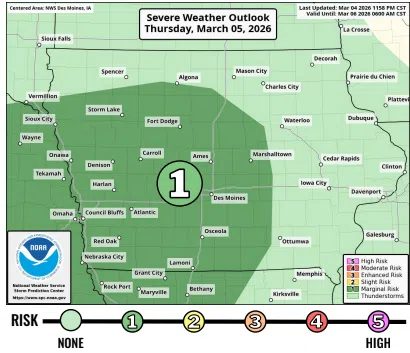
(Des Moines) The National Weather Service says severe storms are a possibility today and tomorrow.
Forecasters say the first round of unsettled weather will begin to move across Iowa late tonight, bringing showers and thunderstorms mostly after midnight. A few of these storms could become strong enough to produce large hail, making overnight weather something residents should keep an eye on.
A second round of thunderstorms is expected to develop on Friday and move across parts of the state. During this round, storms may become more intense, with all types of severe weather possible, including damaging winds, hail, and potentially a tornado. The greatest risk is expected across southern, central, and eastern Iowa.
Another factor to watch with the Friday storms is their speed. Forecasts indicate these storms could move very quickly—possibly over 50 miles per hour—toward the east-northeast. This means severe weather could move through communities rapidly, giving people less time to react if warnings are issued.
Residents are encouraged to stay weather-aware through tonight and Friday and be ready to act quickly if severe weather warnings are issued.