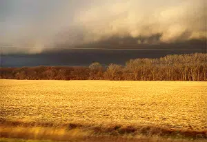
(Des Moines, IA) — There’s some hope for an end to dry conditions contributing to Iowa’s years-long drought. State Climatologist Justin Glisan says it’s all about a shift in Pacific Ocean weather patterns…
“The shift from El Nino to Neutral in the April-May-June time frame, if our climate models are correct, do suggest near normal to slightly elevated chances for wetter conditions and we’re kind of seeing this in those shorter term outlooks towards the end of March,” said Glisan.
Glisan says last week’s severe weather in Missouri, Ohio, Indiana, and Kentucky are also a signal that Iowa may also see some stronger thunderstorms that could bring more rain.
Meanwhile, after a mild start to the week and a warm up expected on Tuesday, parts of Iowa could see a chance of snow late Thursday.
“We’ll get some more storm systems moving through a few times starting first on Thursday with rain transitioning over to maybe some snow on the back end of that as it exits Thursday night,” explained National Weather Service Meteorologist Alexis Jimenez.
Jimenez says the great variations are actually normal for the month of March, even with the recent streak of warm and dry weather.


