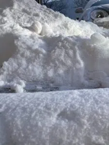
(Area) Snow is expected to begin falling around midnight tonight in Western Iowa with accumulation beginning around 6:00 a.m.
Alex Krull is a Meteorologist with the National Weather Service in Des Moines. “We are looking at about 3-6″ for the Atlantic area. Areas northward will see a little bit less.” Krull says, “Moving south from Atlantic amounts will be a little bit higher. Looking at about a 5-8″ range in the Corning area and then right along the Missouri border could be looking at anywhere from 6-8″ of snowfall.”
It will be accompanied by frigid temperatures. “The cold temperatures will begin to settle in as the system moves through. We are looking at air temperatures to be in the single digits and probably just a little bit above zero for the Atlantic area and portions of Iowa south of there. Further north the actual air temperatures will be a few degrees below zero. As for the wind chills, because wind gusts will be between 20 and 25 miles per hour those wind chill values up north could drop anywhere between 20-30 degrees below zero and likely anywhere between zero to ten degrees below zero for southern Iowa.”
Krull advised to use extreme caution if you have to travel and if you don’t have to travel please do not go out. Blowing snow will result in drifts and reduced visibility.


