(Des Moines) State Climatologist Justin Glisan says the weather models over the past two to three weeks for western Iowa just as well have been thrown out the window.
Glisan says in terms of the forecast models, over the past several weeks, one-half-inch to 1 ½ inch showers of rain were forecast for western Iowa, but in almost all cases, the rain never came. “The forecasts have been busts, they haven’t panned out,” said Glisan. “Instead of getting large scale thunderstorms providing the rainfall during the summer months, we’re seeing spotty showers and thunderstorms. The storms pop up and then dissipate. This is due to low or in many cases no surface moisture to fuel these storms. This is what’s happening over the driest areas of the state.”
West-central Iowa is in a D2 drought situation. This is considered a severe drought, and precipitation deficits are beginning to stack up.
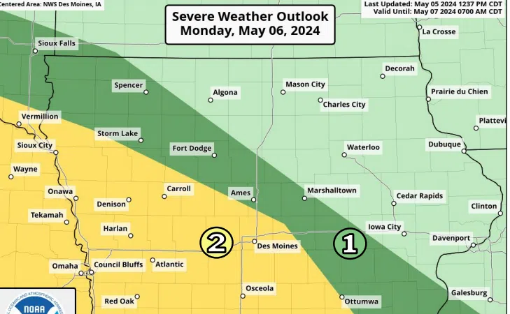
Glisan says the line of storms that formed in southwest Iowa this morning weren’t forecast to happen. “We’re forecasting rain and it doesn’t show up, or we’re not forecasting rain and it shows up anyway,” said Glisan. “There seems to be something systematic in our forecast models and we can’t quite put our thumb on it yet.
“I wake up every morning hoping it rained in the driest parts of the state because the forecast looked promising the night or a few days before,” said Glisan. “I’m pulling my hair out because we’re not getting the rain where it needs to go.”
Glisan says the 10-14 day weather models signal slightly cooler conditions for southwest Iowa and near-normal temperatures for the rest of the state. The precipitation models show below normal rainfall and near-normal rainfall for the rest of the state.


