(Area) Strong to severe thunderstorms rolled through portions of west central and southwest Iowa overnight, knocking out power in some locations.
A Flash Flood Watch was issued for most of the region for flash flooding between Highway 34 and Highway 20, with widespread rainfall totals between two and three inches.
A Flood Watch for Flash Flooding is in effect for the remainder of the day from the Waterloo through Corydon areas and points east for another round of heavy rainfall this afternoon and evening.
There is a risk of scattered to severe thunderstorms this afternoon and evening across portions of central Iowa (risk level 2 out of 5). Damaging winds and a tornado or two are the primary threats in addition to heavy rain.
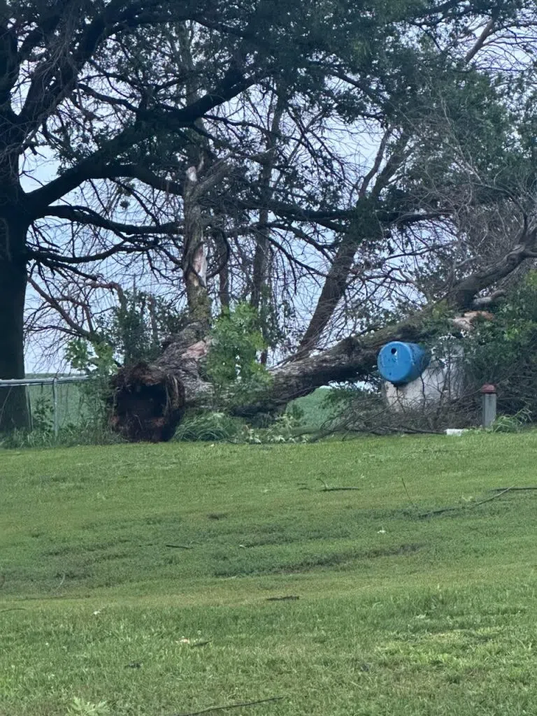
The National Weather Service is reporting a 68-mile-per-hour wind gust five miles south of Harlan. Greenfield and Menlo also received tree damage from the high winds.
The high winds uprooted trees southeast and northwest of Atlantic. The National Weather Service received a report from the Atlantic Airport of a 62-mile-per-hour wind gust. The top photo is at 61786 650th Street southeast of Atlantic. The bottom photo is from damage five miles northwest of Atlantic on Dallas Road.