(Des Moines) The Des Moines National Weather Service has issued an updated weather briefing, highlighting several hazards expected to persist through midweek.
A new Heat Advisory has also been issued for southeast Iowa due to continued extreme heat expected today. Kristy Carter with the National Weather Service in Des Moines says the state will experience another day of hot temperatures, especially in southeast Iowa. Carter says the heat will be followed by multiple rounds of severe storm chances, along with heavy rain starting today through mid-week.
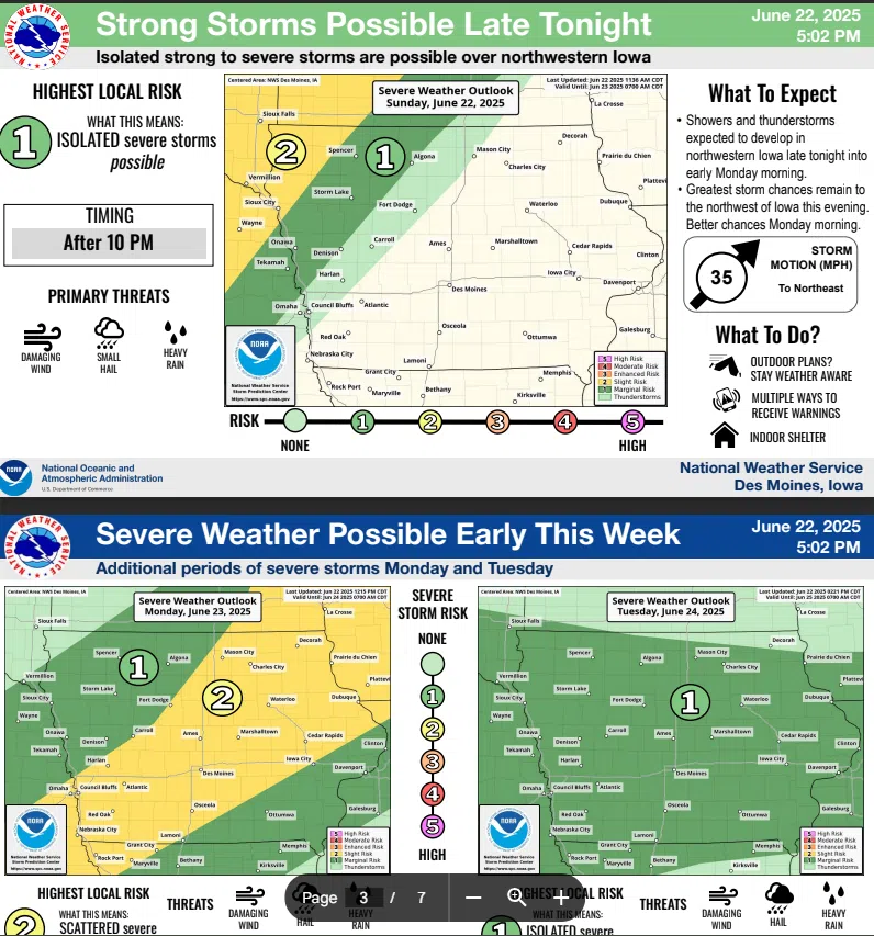
The severe weather is expected to arrive in the southern portion of the state late this afternoon or early evening, according to Carter.
Carter says heavy rainfall is forecast through at least midweek, bringing the potential for flash flooding and rising river levels. She says this will be a prolonged rain event, which could also lead to river flooding.
The Key Hazards include:
- Extreme Heat – Primarily affecting southeast Iowa this afternoon.
- Severe Weather – Possible statewide from today through Tuesday.
- Excessive Rainfall – Anticipated across much of Iowa from today through Wednesday.
Timing:
- Heat: Peak impacts Monday afternoon
- Severe Storms: Today through Tuesday
- Heavy Rain: Today through Wednesday
Keep it tuned to KSOM/KS95 News for the latest weather updates.