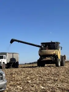
(Area) The fall of 2018 and fall of 2019 brought wet conditions, resulting in challenges in the field for harvest. Don’t expect a repeat this year.
Warmer and dyer conditions are expected to hang around, at least through the month of September. “If we put drought aside, that’s not a bad signal to see in September. Looking at that September, October, November meteorological fall outlook, we are still seeing a warm and dry signal there. That’s excellent for harvest. It allows for dry down in the field of grain, but also allows for getting combines out without getting stuck in the mud.”
State Climatologist Justin Glisan notes this goes against the recent trend of a wet fall. October 2021 was especially rainy. “October was the 8th wettest on record. Which really helped diminish some of the drought we saw across the state. We do see wetter conditions historically in fall.”
Glisan points out a La Nina phase hangs around for a third year. “La Nina is a cold phase of sea surface temperature anomaly in the Pacific which impacts where the storm track sets up over the United States. It’s looking like it is going to hang around into winter time.”
There have been only two years of La Nina on record since 1950 which makes weather conditions hard to predict for the late fall and winter.


