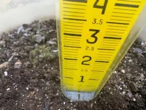
(Area) The state of Iowa’s average rainfall for the month of July was an inch less than the typical figure. Locally the deficit was even larger.
Southwest Iowa’s average rainfall was 2.5″ which is nearly two inches below normal. Atlantic’s precip total was over three inches short of the usual July amount at just 1.26″. State Climatologist Justin Glisan reports a statewide average of only 3.2 inches. “Dry, dry, dry. Drier than average across the majority of Iowa and we did have pockets of above average totals in Northeastern and parts of Western Iowa.”
A heat wave ushered in the first week of the month. By the end of July things had pretty well averaged out. “July was just slightly warmer for most of the state with an average temperature of 74.3 degrees. That’s about a degree above average.”
The short term outlook calls for more of the same…hot and dry conditions. That could ease off later in the month. “The overall August outlook shows elevated signal for warmer temperatures and then slightly backing off the drier signal. Between a 30-40% chance of below average rainfall. For August if we look at Southwest Iowa basically about four inches is the expectation.”
Atlantic’s high temperature of 95 degrees occurred on the 23rd while the coldest overnight low of 50 degrees occurred on the 29th. The average high was 87 degrees, one degree above normal. The average low was 63 degrees which is one degree below normal. The highest rainfall event came between 7:00 a.m. on the 1st and 7:00 a.m. on the 2nd at just 0.34.”


