(Area) Conditions are improving on the drought monitor index.
State Climatologist Justin Glisan calls the latest developments ‘significant.’ “The driest part of the state is Western Iowa. We have D-3 and D-4 up around Sioux City. D-3 and D-2 conditions in Southwest Iowa. We’ve removed most of that D-2 severe drought category.” Glisan says, “Given that soil profiles have thawed out, so there’s no frost in the soil, so any precipitation that we are getting is starting to soak in and we are starting to see deeper infiltration.”
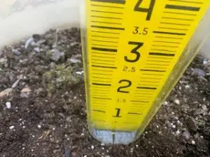
Stream flows are also going up. Now that things are starting to thaw out, surface moisture is soaking in. “When we do get into above average temperatures the snow pack melts and you get that muddy soil that freezes over night. That acts as mechanical compression and decompression so you are opening porosity in the soil and any precipitation that you get is able to get deeper down into the profile.”
The deeper the moister gets the longer term it will stay there. February was the 11th wettest on record and the months of December, January, and February lumped together were the 4th wettest in 151 years.


