


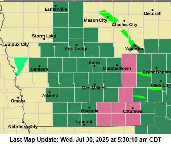
(Des Moines)— A Flood Watch remains in effect until noon today for portions of southwest, west central, north central, central, and southern Iowa, as the threat of flash flooding continues due to excessive rainfall.
The National Weather Service warns that thunderstorms capable of producing heavy rainfall will continue across the region this morning. Rainfall totals of 1 to 3 inches are expected to be common, with some areas potentially receiving between 3 and 5 inches.
The excessive runoff may lead to flooding in rivers, creeks, streams, and other low-lying or flood-prone areas. Poor drainage and urban zones are particularly at risk, and residents should be prepared for significant ponding and water rising over roadways. Creeks and streams may also rise out of their banks.
Drivers are urged to use caution, avoid water-covered roads, and monitor local alerts as conditions can change rapidly. The Flood Watch is scheduled to expire at 12:00 p.m. CDT, but additional weather updates may be issued depending on rainfall trends.
The counties of Crawford, Carroll, Audubon, Guthrie, Cass, Adair, Adams, Union, and Taylor are in this Watch area.


