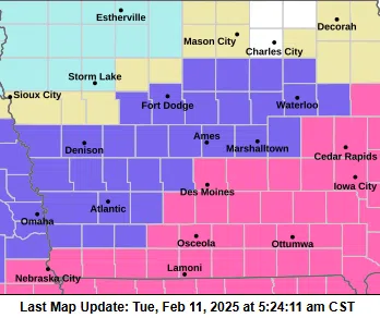
(Des Moines) A Winter Weather Advisory is in effect from Midnight tonight to 6:00 p.m. Saturday for the southwest Iowa counties of Pottawattamie, Harrison, Shelby, Mills, Montgomery, Fremont, and Page; and from 3:00 a.m. to 6:00 p.m. Saturday for Audubon, Guthrie, Cass, Adair, Adams, Union, Taylor and Ringgold.
The National Weather Service says quick burst of snow will impact parts of Iowa this afternoon, with 1-2 inches of accumulation expected. Snowfall rates could reach up to 1 inch per hour, particularly in north-central and northeast Iowa. These rapid accumulations will likely cause road conditions to deteriorate quickly, impacting the evening commute. Winds from the south, gusting at 30-40 mph, will contribute to blowing and drifting snow, especially on east-west roads and in rural areas. Reduced visibility is expected as conditions worsen. This round of snow is forecast to taper off by around 6 p.m.
After a brief lull, another winter storm system will move into Iowa late tonight, continuing through Saturday. Snow will start in northern Iowa before spreading south and east. Central and northern Iowa can expect snow to fall in bands, potentially leading to localized high accumulations. In contrast, southern Iowa will see a wintry mix of freezing rain and snow, with up to one-tenth of an inch of ice possible before transitioning to snow later on Saturday. The exact locations of the highest snowfall remain uncertain due to the variability in snowband placement. Light snow and flurries may linger into Sunday morning.
Travelers are urged to slow down and use caution on the roads. Check real-time road conditions using the Iowa 511 app, online at www.511ia.org, or by dialing 511.