(Des Moines) The latest drought monitor shows some degradation across the northern half of Iowa.
State Climatologist Justin Glisan says eastern Iowa, where the state has had the wettest conditions, still below average, is showing a D0, or abnormally dry conditions, which is not drought but 30-to-60-day dryness, from Cedar Rapids to Dubuque into Wisconsin.
Glisan says the drought region in northwestern Iowa, going back two and a half years, have precipitation deficits of 15 to 25 inches.
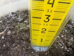
Glisan says we are starting the downhill slide into the driest part of the year, which is winter. He says the statewide average for September is 3.5 inches of rain, October, 2.7 inches, and November, 1.8 inches of rainfall expected.
Glisan says the short-term outlook indicates the state is in the warmer than average temperature range and trending to near normal precipitation for what we expect for this time of year.
The continued dry conditions are prompting burns in a handful of counties, and more to come if the dry weather conditions continue.


